Walk from Silver Street Bridge to Market Square
Start: Silver Street Bridge. Finish: Cambridge Market Square. Times exclude college admission or a punt.
- Silver Street Bridge. Begin on the public bridge and look north-west towards the Mathematical Bridge and Queens’ river frontage.
- Queens’ Green. Cross to the west bank and follow the public path through Queens’ Green towards Queen’s Road.
- Queen’s Road edge of The Backs. Turn right and walk north on the public path along the east side of Queen’s Road, outside the college boundaries.
- Garret Hostel Lane. Turn right into Garret Hostel Lane and continue to the public foot and cycle bridge.
- Garret Hostel Bridge. Pause for river views, then cross east. The bridge is steep and shared with cycles.
- Trinity Lane to Market Square. Continue east to Trinity Lane, turn right towards Senate House Passage, then follow St Mary’s Passage back to Market Square.
Open The Backs walking route in Google Maps
Stay on Queens’ Green, the Queen’s Road edge and public bridges. College lawns and riverside gardens are not part of this public route, and live signs take priority if works affect a path.
Why there is no continuous riverside path
The Backs are the lawns, gardens, bridges and college façades beside the River Cam behind several central colleges. Different colleges own the land, so the public walk links viewpoints rather than following the river continuously.
What each public viewpoint shows
| Public viewpoint | What you can see | Access limit |
|---|---|---|
| Silver Street Bridge | Queens’ College and the Mathematical Bridge area. | The Mathematical Bridge requires Queens’ visitor admission when available. |
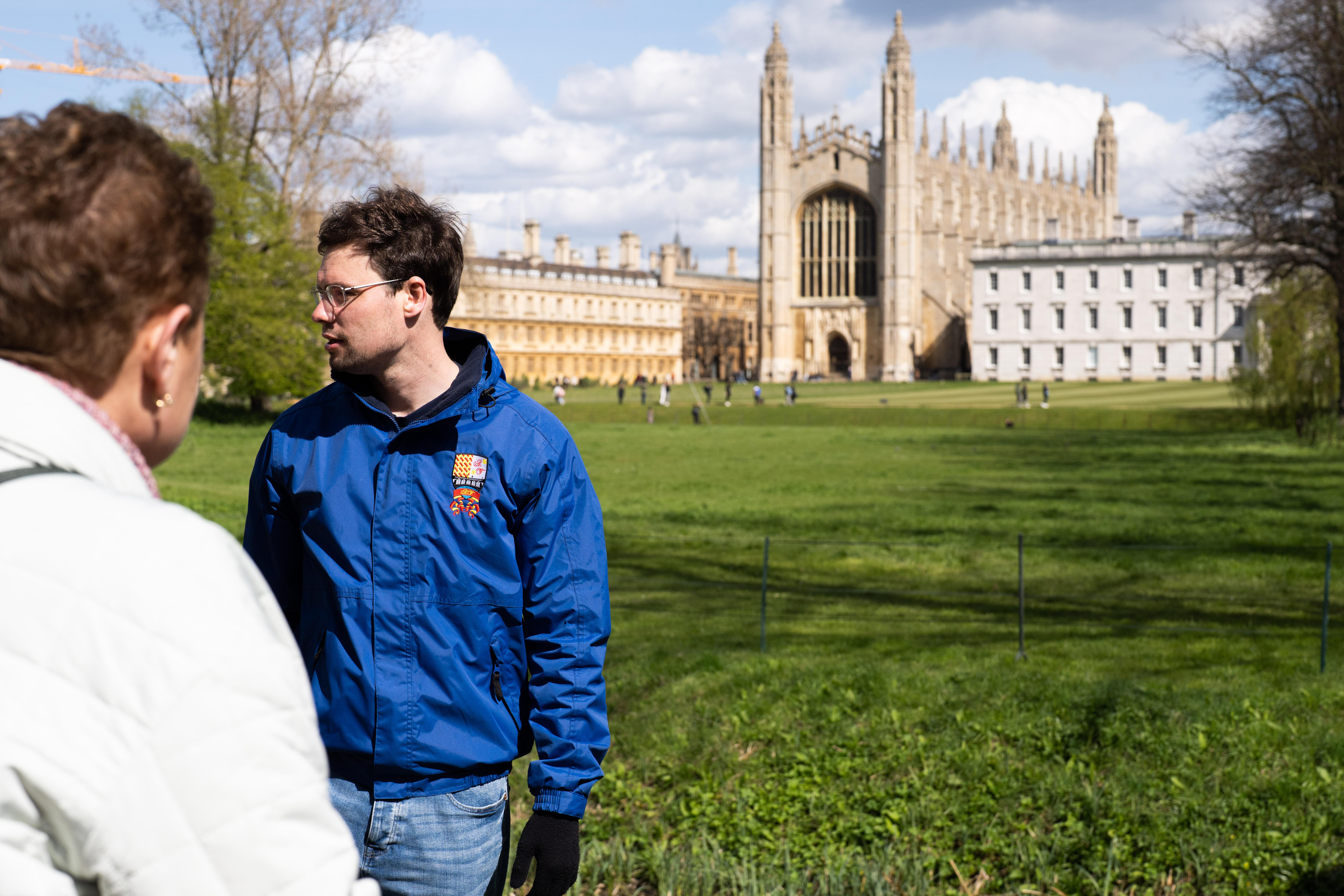
| Queen’s Road and Queens’ Green | King’s College Chapel and the broad skyline across The Backs. | College lawns, private gardens and King’s bridge are not public shortcuts. |
| Garret Hostel Bridge | Clare College and its bridge to the south, and Trinity College Bridge to the north. | College bridges and gardens are private. The Bridge of Sighs is better seen from a punt or permitted college route. |
For admission details, use the college visiting guide. For a longer circuit, follow the complete self-guided Cambridge route.
Walking and punting show different views
Walking links public bridges and skyline viewpoints at your own pace. A punt follows the Cam past waterside façades, lawns and private college bridges that cannot be joined into one public foot route.
For the continuous river sequence, use a chauffeured punt or the combined walking-and-punting tour.
Make the route comfortable
Queens’ Green and Garret Hostel Bridge are shared with cycles and can be busy. Keep to one side, cross Queen’s Road carefully and wear shoes suited to damp paths and uneven paving. Do not treat college lawns or gardens as informal shortcuts.
The alumni-led combination starts on foot and continues by chauffeured punt along the River Cam.
Last checked 1 November 2026. Time-sensitive facts carry direct official links where available. Recheck those sources for the date you plan to visit.